 By Chris Follin
NAVIGATION SKILLS
How to read a topo map for camp
A topo map will not tell you if a campsite is perfect, but it can warn you about steep ground, exposed ridges, cold drainages, awkward roads, and whether the place is actually high enough to change the weather.
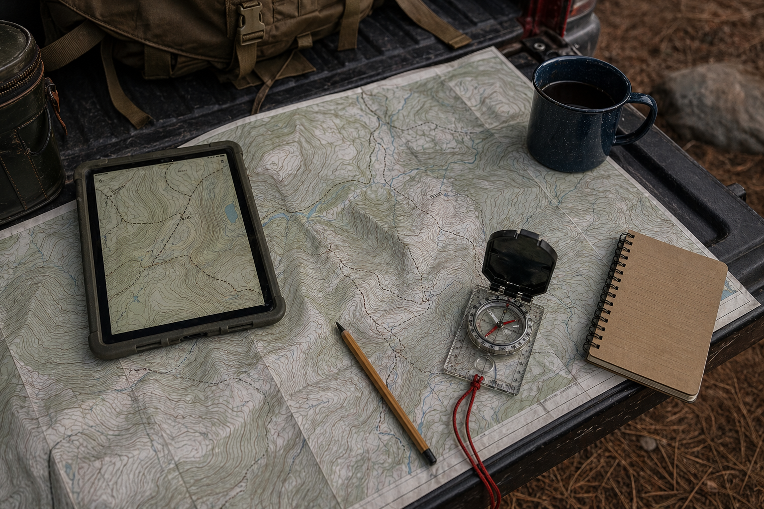
Contour lines are terrain, not decoration
Every contour line connects points of equal elevation. Close lines mean steep ground. Wide lines mean gentler ground. V-shaped contours usually point uphill into drainages. Closed loops are hills or depressions depending on the markings. Once those patterns click, the map stops being wallpaper.
For camping, you are usually trying to answer practical questions: Is this site flat enough? Is it in a wash? Is the road about to climb hard? Is the ridge exposed to wind? Is the elevation high enough to cool the night? Topo does not guarantee a good site, but it catches a lot of bad guesses.
| Map clue | Plain-English terrain | Camp decision |
|---|---|---|
| Close contour lines | Steep ground, banks, cuts, or a road with real grade. | Do not assume there is room to level, turn around, or sleep comfortably. |
| Wide contour lines | Flatter ground or a bench. | Worth checking, but still confirm rules, surface, brush, mud, and access. |
| V shapes in contours | Drainage, wash, draw, or creek channel; the V usually points uphill. | Stay out of the bottom. Think water path, cold-air sink, and road trouble after storms. |
| Saddles and ridges | Passes, wind funnels, high points, and exposed shoulders. | Great views can mean wind, lightning exposure, and less shelter. |
- Find the roadTrace the route in and out before you get attached to the campsite.
- Read slope around the siteLook for contour spacing where the tent, trailer, or vehicle would actually sit.
- Identify water pathsDrainages matter even when they are dry. Especially then.
- Compare elevation to weatherUse elevation to sanity-check heat, cold, wind, and storm expectations.
Read the contour spacing
Close contours mean the land changes elevation quickly. If the lines are stacked tight around a road or potential campsite, expect steep side slopes, drop-offs, or a road that may feel more serious than it looked on satellite.
Wide spacing suggests flatter terrain, but not automatically a campsite. It could still be brush, private land, mud, rock, or a meadow with rules against camping. Use topo to screen terrain, then confirm with maps, rules, and what you see on arrival.
Use drainages and ridges
Drainages collect water, cold air, and sometimes roads that become ugly after storms. Ridges can be scenic and breezy, but they can also be exposed to wind and lightning. Saddles can funnel wind. Benches can be good camp zones if access and rules cooperate.
In desert country, washes are especially deceptive. They look like flat open corridors until weather upstream turns them into water routes. Avoid camping in washes or obvious drainage bottoms.
Pair topo with weather and roads
Elevation changes temperature. If Phoenix is hot and a site is 5,000 feet higher, that matters. If a storm is coming and the road crosses multiple drainages, that matters too. Topo helps you connect the forecast to the actual land.
Download offline maps, mark turnarounds, and carry enough information to leave without signal. A topo map is not just for finding camp. It is for not being surprised on the way out.
Terrain makes sense
- Potential site sits on flatter ground near, but not in, a drainage.
- Roads connect in a way you understand before arrival.
- Elevation matches the weather change you are expecting.
The map is warning you
- The only flat-looking area is a wash or drainage bottom.
- The road climbs, drops, or sidehills tightly near the site.
- You cannot tell where you would turn around.
Field note
Topo does not pick the campsite for you. It keeps you from being surprised by obvious terrain.